Heading south in Spain, from the mountains to the coast

The 2nd part of our Spanish travels taking us up to where we headed into Portugal.

User

You


Continuing our journey south from Banos de Fortuna we took the A92 motorway across the mountains towards Granada as we didn’t want to go along the Almeria (plastic) coast. My first mistake was thinking, and telling Calv, that we weren’t going very far – I thought it was about 60 miles, rather than the 160 miles that it actually was…Yes, I was in trouble! (The next step from La Peza to Loja was actually 60 miles).

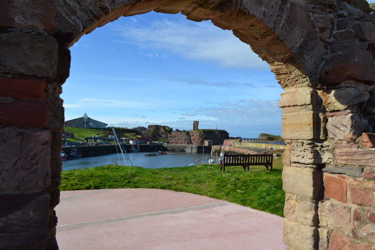
However it was all worth it as La Peza was delightful. From the dedicated motorhome park-up we could see the castle on the other side of the town, and an Ermita on the other hill. Behind us we could see a mirador up a road that was definitely cyclable.

Walking to the castle in the morning entailed a steep downhill into town followed by, you’ve guessed it, a steep uphill to the castle. Along the way we saw old men sitting together on benches chewing the cud and being greeted by everyone who passed by 🙂 After visiting the castle we headed over to the other hill to visit the Ermita before going back to the van via a quick drink in Fernando’s bar, discovering a fully intact outdoor lavaderia along the way 🙂

After a spot of lunch we jumped on our bikes to cycle up the mountain to the mirador and a little further along a cycle route heading into the mountains. Coming back down the hill was quite hairy (for me anyway – I really don’t like the downhills!!)

We didn’t stay a 2nd night, but only because on our way in we had passed an area to stop beside a reservoir. This was only a few miles away on the road back up to the motorway; so we spent our 2nd night here.

Next up was a stop that I’d found in Loja. Well, the motorhome area itself was fine, being in a newer & slightly nicer part of town, but on walking towards the towers that we could see in the old town and wandering around a little we realised that it wasn’t the nicest and we were very happy to move on in the morning.

Our next destination was La Cala de Mijas. However, along the way we toyed with the idea of stopping in the car park at El Torcal (near Antequera) and doing a walk. Calv looked at the map and decided that he was going to go up THAT road. I was a little dubious, but just agreed and of course when we got to THAT road it was only suitable for a tractor and we would never even consider using it. So instead we went up the next mountain road, which wasn’t much better and joined the ‘main’ road via a very steep junction (luckily when we got there there was nothing coming!!) Unfortunately though we didn’t like the look of the El Torcal car park for staying in and as the weather wasn’t wonderful we moved on. We went via Antequera to get on the motorway on the last bit into La Cala.

We stayed 4 nights here, meeting new people, having nights out and also 1 get together in our van, which resulted in us not being able to move on the next day as originally planned…

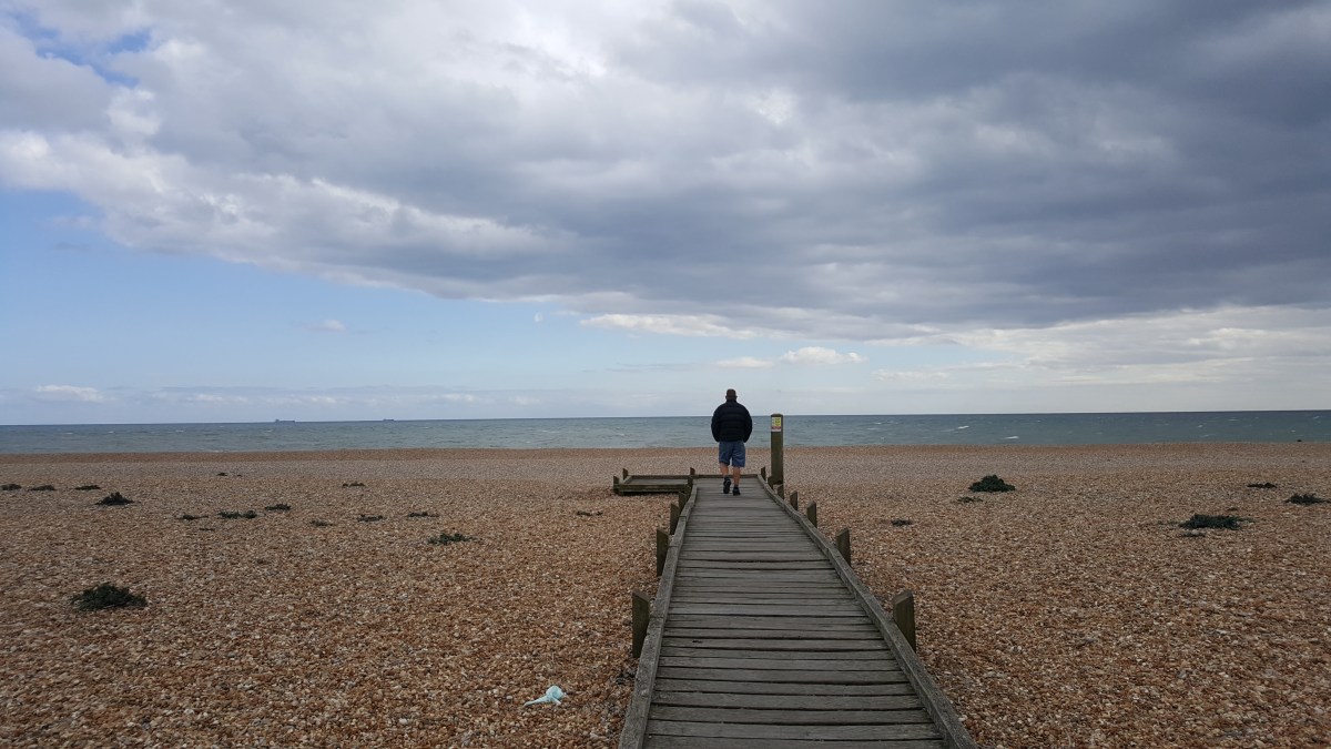
Our next stop was just a few miles along the coast at Cabopino where we have stayed several times. This was definitely our last time though and we only stayed 6 nights rather than the 11 that we had originally intended. We did get some washing done though and met up with some friends who were staying nearby. We walked back to La Cala along the boardwalk one day – it’s a really pleasant walk now that the boardwalk fully connects both areas.

This area really isn’t cycle friendly but we did go out on our bikes a couple of times to do bits of shopping. On our first outing I had forgotten about the really steep culvert on our route; bad enough on the way but coming back the very steep upwards after the long drawn out downwards almost defeated me. I had to go back and have another go (with Calv’s encouragement of course….) He reckons that it’s a 1in3.

Next stop was Gibraltar where we stumbled upon a perfect park-up in a marina, with the imposing rock as our backdrop. We managed a run along the promenade in the morning and then a 10 minute walk takes you to the border crossing, where we showed not just our passports, but our parking ticket and proof that we were going home at some point! We had a pleasant wander around seeing many things that we hadn’t seen on our first visit – the Trafalgar cemetery where we found the grave of 1 of the sailors killed at the battle, the courthouse, the cathedral and the gates to the town.

Sitting down for a lunch of fish and chips, with several eateries to choose from I was stunned to realise that I recognised someone who was sat a few tables away from us – it was Justin who I went to school with and his wife Debs who had just arrived for a long weekend. What are the chances of not only being there at the same time but actually choosing the same place to eat at the same time 🙂

We then spent a couple of hours in the Lord Nelson pub tucked into the corner of the Casemates Square where we met another couple who were over for the weekend. We did our best to persuade them to get a motorhome!

Apart from a violent bout of food poisoning that night our visit to Gibraltar couldn’t have been much better!

Next up we discovered another perfect little camper stop nestled between Tarifa and Cadiz, on the Trafalgar coast, a haven for surf enthusiasts from around the world. Los Canos de Meca exuded surfer vibes, the beach was absolutely beautiful, the water warm and the food on offer simple yet satisfying. We reluctantly bid farewell after 3 nights to move on to our last stop in Spain before heading into Portugal.

Our final Spanish stop was in fact Seville, our overnight stop greeting us with views of the city itself. A short bus ride took us to the bus station at the Plaza de Armes from where we walked for about 10 mins to get to the centre. Despite encountering tourist crowds, meaning that we weren’t able to visit the cathedral or the alcazabar, and dining dilemmas (nothing suitable seemed to be open), the majesty of the Plaza de Espana and an impromptu flamenco performance made the visit worthwhile. I loved the Plaza de Espana having missed visiting when I first visited Seville as it was flooded and closed.

This section of our travels, each stop offered a different experience, from scenic vistas to unexpected reunions.

New adventures awaited in Portugal as we prepared to travel up the N2 route through the centre.

Stay tuned for this next chapter of our travels 🙂

Delightful Dunbar

What a wonderful surprise Dunbar was!  About 40 miles east of Edinburgh itself (so easily within reach from our campsite) we opted to stay on the Camping & Caravan Club site on the outskirts of Dunbar.

It didn’t take us very long to get there from Holy Island being just a short hop up the A1 and over the border – it probably only took us about an hour and a half.

The site itself was one of those where as you drive onto your pitch you have your breath taken away by the view before you.  See our review for pictures.

The 1st afternoon was spent stocking up in the nearby Asda and just relaxing.  We opted for a Chinese takeaway in the evening, landing up in Kings Palace on the High Street. where the service was excellent and the food was good.  (Bit bemused by the fellow customer who appeared not to really want to talk to us, but then kept piping up with ‘helpful’ advice – such as the best time to visit to avoid the midges would be July & August…..)

The next day we pulled on our walking boots and headed off towards Barns Ness lighthouse that we could see from the campsite.  This proved to be a longer walk than we were expecting!  Continue reading “Delightful Dunbar”

Clifftop Walks at Flamborough Head – we spotted a few puffins too :)

We are staying on the clifftop at Flamborough and the views are amazing!  We have direct access to the cliffs and the many terraces full of seabirds, including guillemots, razorbills, gannets, shags, herring gulls and puffins.

On evening 1 we went out for a walk, taking our neighbour’s dog, Henry, with us.  We ended up walking about 4 miles in the mud (it had been raining for a couple of days before we arrived).  To get to the clifftop we have to walk through a field full of sheep belonging to the farm we’re staying on.

I’m not kidding you, I have never heard such noises from sheep!  Ranging from normal baa’s to sounds like they’re barking and saying ‘no’ & ‘hear hear’.  They’re clearly talking to each other as they’re quiet until people turn up 🙂

The following day we went out for a walk along the cliffs again.  This time we turned left and walked about 3 miles to the RSPB centre.  Along the cliffs here there are several platforms built for viewing the birds.  It was a really nice walk, and even stayed dry for the majority of the time we were out!  Calv enjoyed his cream tea at the café 🙂

We did find that, in contrast to everyone that we’ve encountered so far in Yorkshire, most of the serious bird-watchers we saw were actually quite unfriendly.  They wouldn’t make eye contact at all, just kept their heads down and walked on past.  We were pretty surprised by this.  There were, of course, a couple of exceptions – like the guy we met on the clifftop on the 1st night who pointed out the puffins and lent us his scope to look through (I pretended I could see something, but I’m useless at looking through binoculars – and now I know, scopes as well!)

We did see puffins!  They were at a distance in the crevices in the cliffs – but we could see them 🙂

We were trying to avoid using the car for a couple of days and so the next day, Saturday, we went out for another walk.  This time we were aiming for the lighthouse that we can clearly see from the campsite.  The owner told us that it’s a 4.8 mile walk along the clifftop.

So we headed the other way via Flamborough itself and along Lighthouse Road.  It took forever – we never seemed to be getting any closer to the lighthouse!  Along the way we passed the original lighthouse, which is now sited on the golf course and we couldn’t access it.  There’s doubts about whether the flame was ever lit at the top, partly because passing ships refused to pay the toll to help pay for it.

20170729_132110
The original Lighthouse Tower at Flamborough

We eventually made it to the new lighthouse on the head.  There is a very nice café here, The Headland, an ice cream kiosk and public toilets.  The lighthouse is still operational, but is fully automated.  We took the tour, £4.40 per adult, which allowed us to go to the top and see the views from there.

We went down to the beach, all the way down!  There were people in the water, clambering over the rocks and kayaking from the beach.

From here we took the cliff path, which afforded us some spectacular views on our walk back to the campsite.

On the way we found North Landing where we stopped for a drink in the bar at the Haven centre.  On the beach there were tractors ready to pull the boats that were out on pleasure trips back out of the water, people kayaking; on the steep slipway up from the beach was a lifeboat house which you can visit as well as a boathouse.  It was really busy here as well!

A little further along the cliff was Thornwick Bay, where there is a café and limited access to the beach.

You have to be careful on these beaches as it would be really easy to get cut off as the tide comes in – from the safety of the clifftop we did see a number of people scrambling back around the base of the cliffs to beat the incoming water.  It concerned us a little, but they seemed to know what they were doing…

So we’d had 3 days of lots of walking and lots of fresh air!  Very enjoyable, but now our feet were hurting.

Therefore the car came back into use on Sunday with a dribble along the coast as far as Withernsea – read about in my next post 🙂

Dungeness on Monday and the Brightling Follies on Tuesday

Easter Monday dawned a little grey so we resolved to stay put.  However after lunch we were getting a bit restless so decided to head down towards Dungeness.

On the way we took the seafront route, driving past Camber & Broomhill Sands.  We were pleased to note that there was a good off-road cycle route running for miles from Rye towards Lydd.

We found a Go-Kart track off-route just past Lydd.  It was a proper track and we were able to watch a few laps before heading on towards Dungeness.

As we drove down the road towards the New Lighthouse of Dungeness we encountered a landscape unlike anything we’ve really seen before in the UK.  To the left we could see the ruins of boats and old tracks that would have been used to drag said boats up and down the beach.  We think that some were still in use.  But the majority of the beach resembled a boat graveyard.  On the right, maybe 1/2 mile away, the power station dominates.

20170417_202953

We also went past Prospect Cottage; previously the home of Derek Jarman, and late film director, and famous for the garden he designed for the cottage.  It’s very pretty and stands out compared to most of the cottages along this stretch towards the huge expanse of shingle beach.

Speaking of the cottages I have to say that I felt a little misled by many of the travel programmes that feature this area.  My expectations were that there would just be a few abandoned cottages dotted along the shingle, but this isn’t the case at all.  There are dozens of old cottages. Many of these started as railway carriages and they have been added to over the years.  But there are also several, clearly, brand new structures in place.  Some are being used as galleries.  They are almost all occupied in some way.

20170417_150118
This is what I was expecting to see at Dungeness!


There’s no doubt this is a remote place to live, and I can imagine it gets fairly bleak at times (it was windy enough when we were there!)  But there is a pub and post boxes, and also a café/restaurant (The End of the Line, also the ticket office for the Romney, Hythe and Dymchurch Miniature railway).

This railway runs 13 1/2 miles to Hythe (a trip of about 1 1/4 hours in total).  Calv enjoyed standing outside studying the engine whilst it was waiting in the station.  He suffered later though as the whistle blew very loudly right next to him and he had a persistent whistling in his ear for the rest of the evening!

We had a really good view of the railway from the top of the Old Lighthouse (a new one was necessary as when the Power Station was built it blocked the view of the lighthouse from the channel – good planning then…)

It cost £4 each to visit the lighthouse and on a good day you can go outside at the top (as long as you can get through the rather low opening – I hesitate to call it a door!)  The keepers lived in the roundhouse that you can see in the pictures.

We then wandered back towards the New Lighthouse with a diversion along the boardwalk towards the sea (see the main picture).  We saw sea-kale growing on the beach, and apparently part of the reason for the boardwalk is to protect rare plant-life.  We didn’t actually make it to the New Lighthouse as it was so windy and cold.  So we headed back to ‘The End of the Line’ for a cup of tea (actually a very good cup of tea…) and this is where Calv stood outside for 10 mins ‘inspecting’ the engine.

There is also an RSPB centre which we didn’t have time to visit unfortunately.

We headed a little further along the coast through Greatstone on Sea and Littleton on Sea, seeing some rather impressive houses and other buildings, such as this old water tower (looking like it was perhaps halfway through a renovation?)  We were also following the line of the miniature railway, but only as far as New Romney where we got back onto the main road and headed home to the van.

20170417_161709

Tuesday 20th April

We started the day by heading into St Leonards to get some washing and shopping done.

In the afternoon I had found a walk that I wanted to do in nearby Brightling – 10 miles away.  It looked interesting as it was concerned with finding some of the Brightling Follies, built by ‘Mad’ Jack Fuller (many prefer for him to be called ‘Honest’ Jack).

We parked up outside the St Thomas a Becket church where a very nice local man, Simon, chatted to us about our walk and told us a bit more about Jack Fuller  who seems to have been a fascinating man who did much good in the area.

Simon is involved in trying to provide more information on Jack Fuller and his follies in the village, by turning the red phone box outside the church into a mini-museum.  Good luck Simon – it’s a brilliant idea.

We began in the church, where the Pyramid is located.  This is actually Jack Fuller’s mausoleum.  As we rounded the corner of the church we were confronted, yes confronted, by sheep protecting their young, and we had the impression that they didn’t want us entering that particular area!  So we retreated… In the church we noted that the pews held cushions and that every cushion was individual.  I found one for a John Fuller – I wonder if that was Mad (Honest) Jack’s??

We then started our walk well by going in completely the opposite direction to that we were meant to – only we didn’t know this for a while.  However, the upshot of this was that we managed to see all 6 of the follies (one of which, the observatory, isn’t actually a folly but scientific pioneering – as advised by Simon; thanks Simon!)

So we’d seen the Pyramid.  Now as we walked out of the village, along the road, towards Woods Corner we could see glimpses of the Obelisk.  Coming to a junction we could now see the Observatory.  We had by now realised that we were going the wrong way but decided to continue.  So we took the road to the right and before we turned right again we had a much better view of the Observatory.  A little further down the road we had an unobstructed view of the Obelisk.  Unfortunately neither is accessible, the Observatory now being a private residence.  Both of these were a bonus as we wouldn’t have seen them properly, if at all, had we gone the right way!!

Now we were looking for a public footpath to get us back on track (or so we thought..)  We eventually found one immediately after the entrance to the British Gypsum mine.  This took us down a long field and into woodland.

The woods were beautiful with many different wild-flowers as well as the usual bluebells and snowdrops.

We also saw an ancient tree which was pretty amazing.  There is also a covered conveyor belt running through the woods, which is something to do with the mine.

We were getting increasingly worried that we were going in completely the wrong direction, and as my phone battery was running out we didn’t have much time left on using google maps to help keep us on track!

On emerging from the woods we turned left, which didn’t feel right..  I managed to squeeze the last bit of battery out of my phone to confirm that, yet again, we were going the wrong way.

Once back on track we were constantly looking around to see if we could spot any of the remaining 3 follies.  We were finally rewarded with a view of the tower!  We chose to head back to the car to charge up my phone and then drive to the tower.  We actually sat outside trying to get back up to 10%.

The Tower, is actually accessible and at the very top there’s a rickety ladder, which Calv duly climbed up…  As we were walking back over the field to the car Calv suddenly shouted out, “There’s the Temple!”  And it was indeed, in the distance 🙂  This prompted me to scan the horizon to see if I could see the Sugar Loaf (a folly resembling a church spire).  My turn to shout out “There it is!”  We’d found all 6 – happy days 🙂

We then drove around the edge of the Brightling Park in search of a closer view of the Temple and the Sugar Loaf.  We found the sugar loaf and were able to access this.  We also found a closer view of the Temple, although this wasn’t accessible.

We’d walked about 4 miles in total.  I have to say some of the stiles were very high – I’ve only got short legs!  Calv found it highly amusing watching me trying to get over these.  I had the last laugh though when he had to lift me off a couple of them!