
It’s been a few years since our last trip to Cornwall, but, considering it’s my favourite place in the world, it won’t be our last!
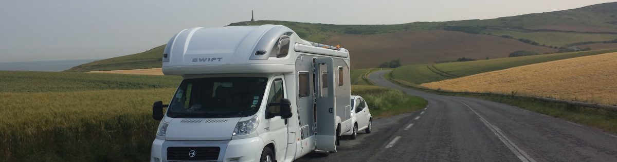
This trip in particular was a bit special. Not only was it wonderful to be out and about in the van again, but we were meeting up with friends who we hadn’t seen for nearly a year. AND we got to watch England beat Germany in the Euros together. What more could you want??
We discovered a site (Old MacDonalds Farm) that not only gave a wonderful first impression, but managed to build on that as our stay progressed – if we hadn’t had other bookings (due to worrying about being able to get in anywhere if we didn’t!) we would have stayed longer without a doubt.
We had 5 nights here and crammed a far bit in – here’s a summary:-

Day 1 – Arrived (via a typical Cornish lane – meeting a tractor coming the other way!) We drove down (we were tired) to the Bay (it is walkable, but probably about 3/4 mile and quite a trek back up the hill!) There is a bus though 🙂
The beach is beautiful. The tide was out and we just walked out to the surf’s edge, exploring all the little caves and coves along the way.
We also noticed that all the beaches in this area have ‘litter picking’ stations, which is a wonderful idea. If we had been staying longer Calv would most definitely have got involved 🙂

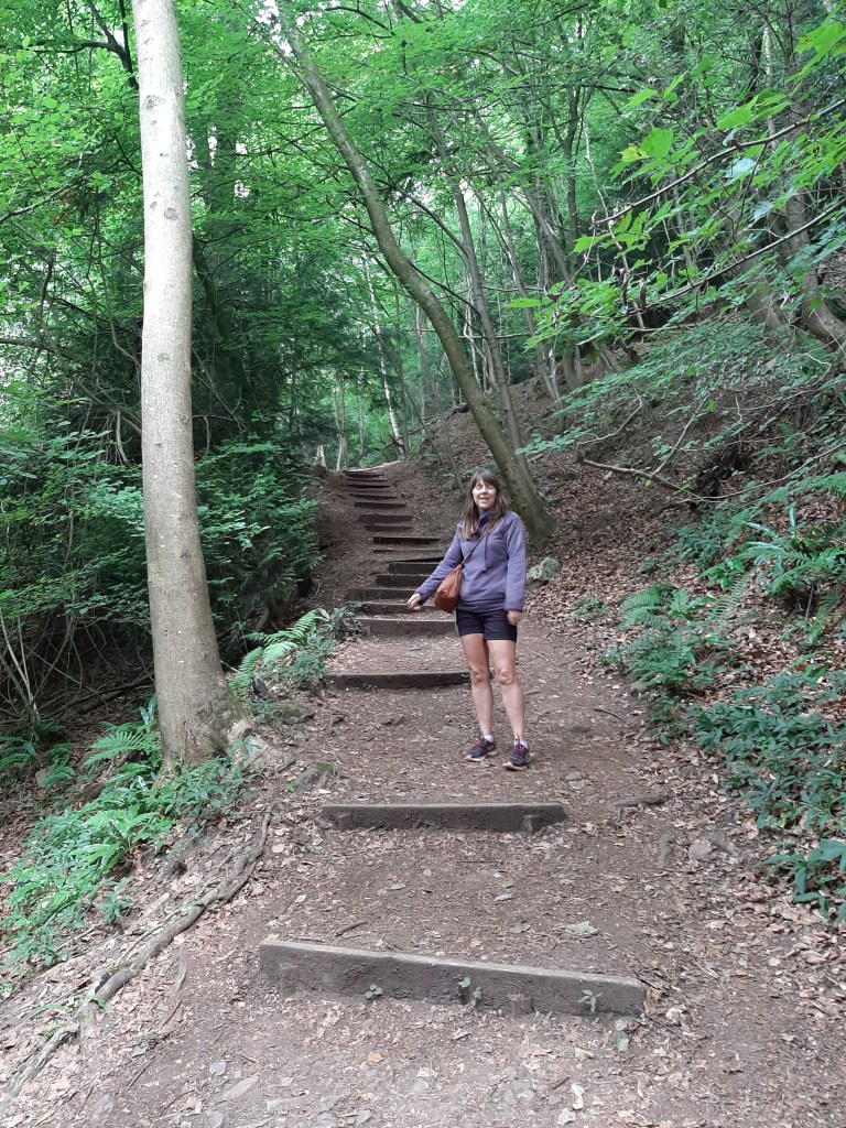
Steps up to the South West Coast Path, Porthcothan 
Porthcothan Bay 
Porthcothan Bay 
Day 2 – It rained all night and didn’t stop all day, so we pulled on our wet gear and walking boots and headed out to get some fuel for the little car at St Merryn. Calv said the shop was amazing! So any camping needs should be filled here 🙂 We then took the road opposite the garage (and past the chippie) down towards Harlyn Bay and Trevone Head.
Initially we kept going straight on taking us past the golf course and driving range, before turning round and taking a left down towards the 2 holiday parks. There are 2 national trust car parks down here to take in the views or visit the bays. At the end of the road is the Trevone lighthouse – but the road goes no further!
We came back to the 1st car park and walked, in the rain, down to the delightfully named Booby’s Bay, which links up to Constantine Bay. I scrambled down to the beach via some rocks only to walk around the corner and find some wooden steps! Beautiful golden sands and patrolled by lifeguards, this was a lovely find.
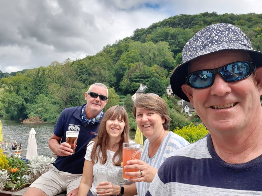
Then we got a call from our friends to say they were waiting for us at our van! So we headed back and had a lovely afternoon catching up before they carried on to their holiday home in Padstow (normally rented out – #seaviewpadstow).

Booby’s Bay 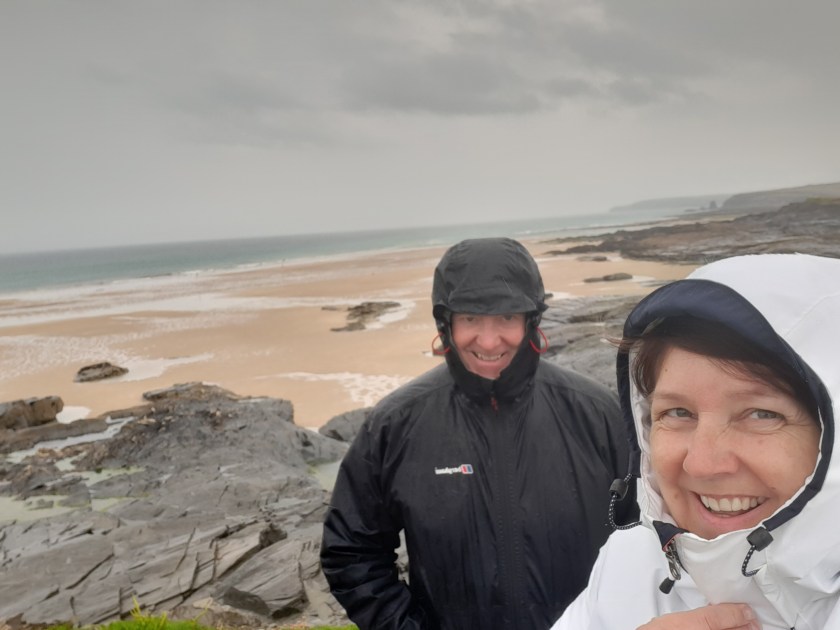
A wet walk at Booby’s Bay, Trevone Head 
A scramble over the rocks to reach the beach
Day 3 – We headed slightly south to Bedruthen Steps, from where we walked to Mawgan Porth and back, a total of 5 miles. We didn’t know we were going to walk quite so far, and on leaving Mawgan Porth we decided to try to avoid the diversion on the cliff path (they’re putting in steps) by walking up the hill on the road (next to the Pitch and Putt). We thought this had worked, but the path ended up taking us back down to the beach anyway!! Massive fail…
An evening at #seaviewpadstow (our friend’s holiday cottage in Padstow) finished off the day. A taxi back to the campsite cost just £15 (although the taxi driver was pretty miserable!!)

Getting ready for our walk 
South West Coast Path, Bedruthen 
Mawgan Porth Beach 
Bedruthen Steps 
#seaviewpadstow 
#seaviewpadstow
Day 4 – Steve and Denise bought our little car back and then we took them back to Padstow, via Padstow Farm Shop (very disappointing) and Tesco’s. They later joined us at the campsite to watch THE match of the Euros so far (England v Germany in case you’re wondering) in the bar. The evening rounded off with a buffet meal outside the van and a few games of boules.
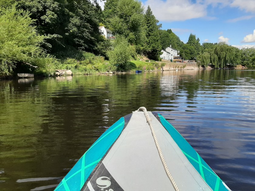
Day 5 – Our last day on site. We had a lovely sunny day so lathered on the suncream and took the kayak down to the bay. Great fun, especially surfing the waves back into the beach and even though Calv then tipped me out into the shallows – bless him….
Our last hurrah was to go back to Padstow for a wander before collecting Marie and Steve to come to pick up their car from the night before. They had all been on a Boat Safari during the day – seeing lots of dolphins 🙂
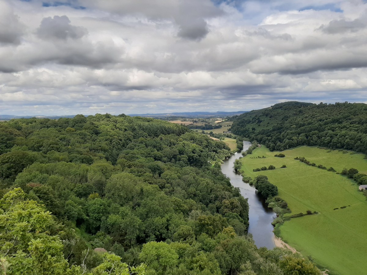
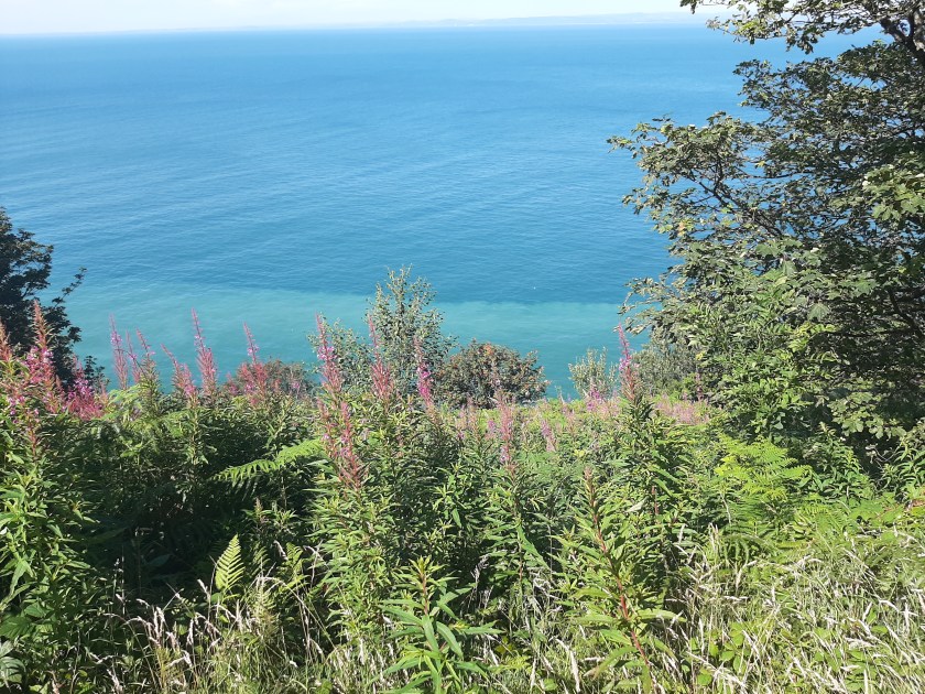
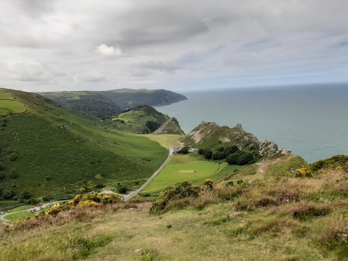
This part of the country is simply amazing – beautiful beaches, country lanes and stunning landscapes. A new view around every corner (and a tractor of course!)

Ready to go kayaking 
All set up ready to set out 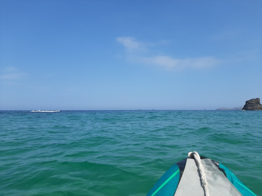
Out on the waves 🙂 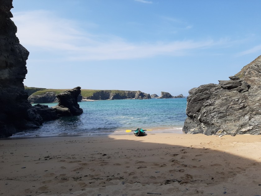
Our own little bit of paradise (until the tide goes out!!) 
Back on dry land 
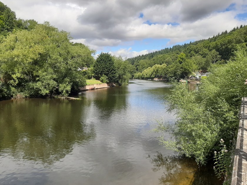
Looking over to Rock from Padstow
We Stayed: – Old MacDonalds Farm, Pothcothan
Next Stop: – Peter Tavy, nr Tavistock (Harford Bridge Camping)


")
")
")
")
")