We have moved on from Cornwall; not far though, just as far as Tavistock on the western edge of Dartmoor.
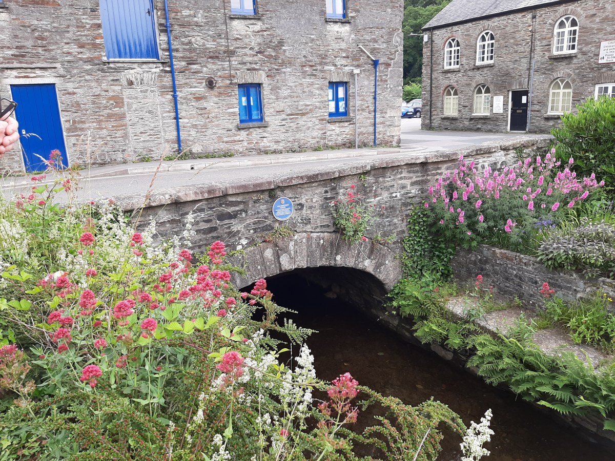
There’s an awful lot to say about Tavistock. First of all, it’s absolutely charming with many of the Abbey ruins dotted around the town. The 10th century Benedictine Abbey must have been huge as the ruins are so well spaced out – some in the grounds of the church, and then the Still Tower (where medicines were made) still standing alongside the river, as well as the gates. The museum is housed in one of these gates, but was unfortunately closed during our visit.
The town was granted it’s market charter in 1105 and a market has been held there continuously since then. Nowadays this is mostly held in the purpose build (1860) Pannier Market with many regular stalls. We were drawn in by 2 of these stalls and bought a few gifts (a couple of which were for us!) Around the outside of the market building there are many cafes serving local produce (including, of course, pasties and cream teas).

Speaking of cream teas, Tavistock is apparently the home of the Devon cream tea (cream with jam on top – of course!) The story goes that a group of workers making repairs after a Viking attack in 997AD were rewarded with bread, clotted cream and strawberry preserves – the rest, as they say, is history 🙂

Tavistock’s most famous son is Sir Francis Drake, and there are many nods to this around the town – from street names, shop names and statues to the cycle path winding through the town.

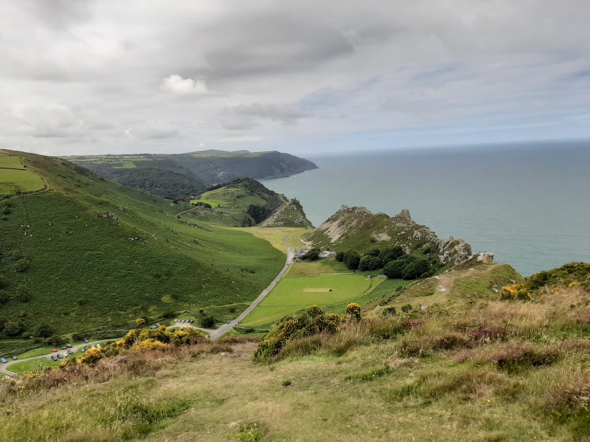
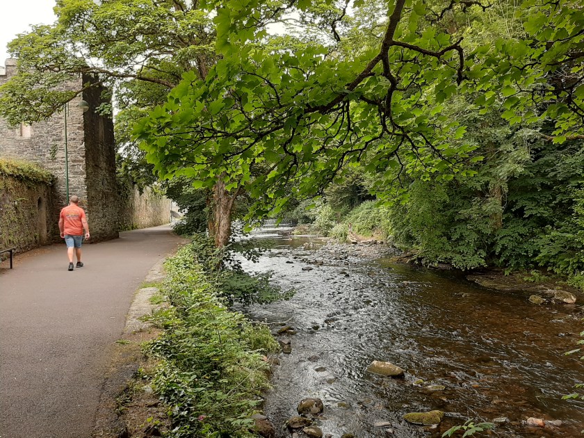
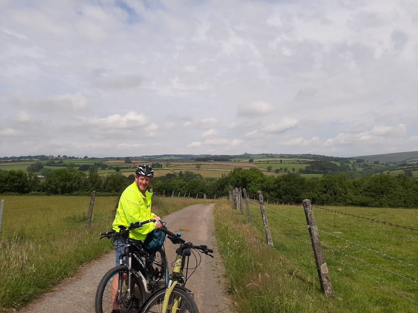
The N27 cycle path goes through Tavistock on it’s way from Ilfracombe to Plymouth. The section from Tavistock to Plymouth is known as ‘Drake’s Trail’. We used it to cycle from our campsite in Peter Tavy (Harford Bridge) and were really impressed (this was 1 of 2, mainly off road, cycle routes into town – and the easiest of the 2 we used). There is ample cycle parking near the town hall (opposite the Abbey Church).
On arriving in town Calv continued cycling along the N27 with me desperately trying to rein him in – ‘You’re on your way to Plymouth’ finally worked! The park alongside the river (which contains tennis courts, a BMX track and, of course, a bowling green) is rather lovely and brings you back, if you walk along by the river, to the wharf and the start of the canal, some of which is underground.
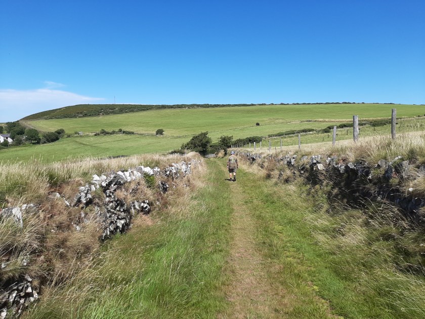
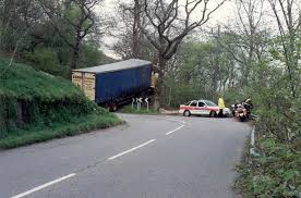
The Old Road to Tavistock 
N27 Cycle route 
This House is Occupied!
We ate lunch in the EastGate Bistro, again alongside the river, enjoying local produce, including beer and wine 🙂 Very nice too!
We returned the next day to make our purchases in the Pannier Market (we wouldn’t have been able to carry them home on our bikes). We parked up on the top road near the road up to the hospital (and the town steps) where it was free. On the way back we took the long route – completely unintentionally, especially considering we didn’t just have our purchases to carry, but those of fellow campers who were on their bikes! This resulting in a steep climb up the town steps and a steep descent down them back to the car – Calv wasn’t impressed with me…
By the way, I promised an explanation of what Stannary Town meant. Stannary means this was where mined metal (tin and later copper) was weighed, stamped and assessed for duty. Click here for more detailed information.
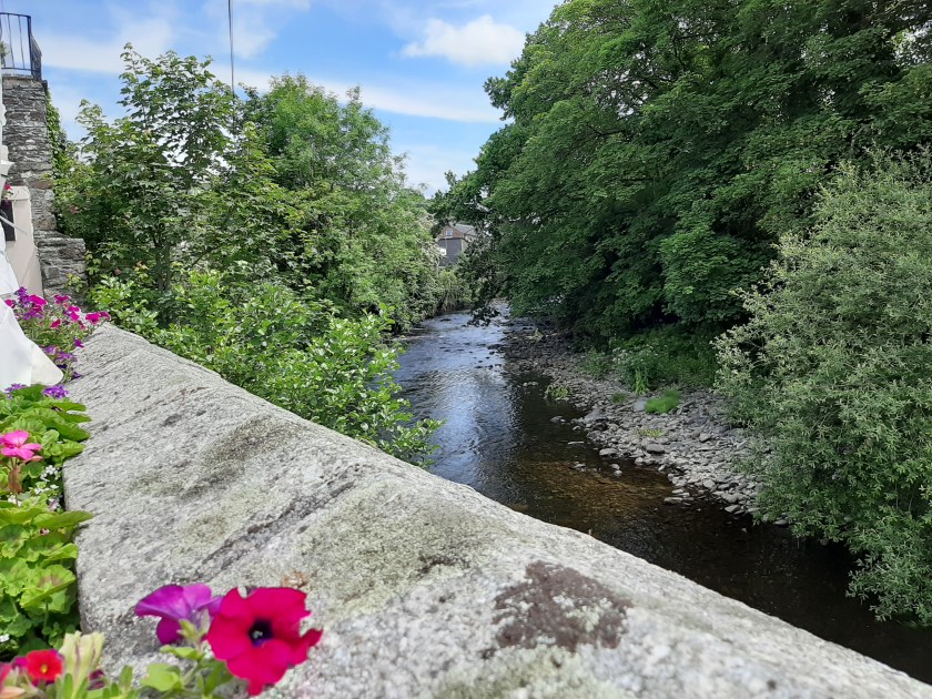
View from our Lunch Table 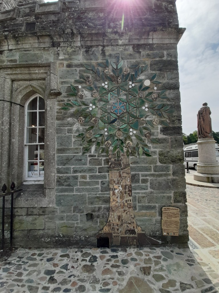
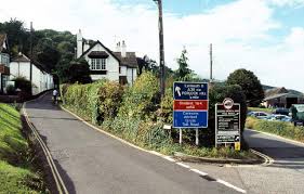
Tavistock Town Centre
All in all I would definitely recommend a visit, or 2, to Tavistock. We will very likely return 🙂